-40%
133 maps NEBRASKA state genealogy HISTORY atlas old PANORAMIC DVD
$ 3.16
- Description
- Size Guide
Description
Your browser does not support JavaScript. To view this page, enable JavaScript if it is disabled or upgrade your browser.Click Here. Double your traffic. Get Vendio Gallery - Now FREE!
Rare Map Collection
This DVD is part of our Historic Map and Atlas Collection.
We have dozens of Atlas maps on DVD ranging from the 1500s to the 1900s covering many areas and topics.
Please Check our Ebay Store for what's available.
FOR MANY MORE EDUCATIONAL CD TITLES
ON THIS AND MANY OTHER SUBJECTS
PLEASE VISIT OUR EBAY STORE
VERY LARGE HIGH RESOLUTION
MAP COLLECTION
ON DVD!!
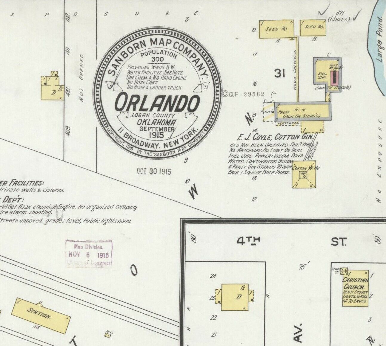
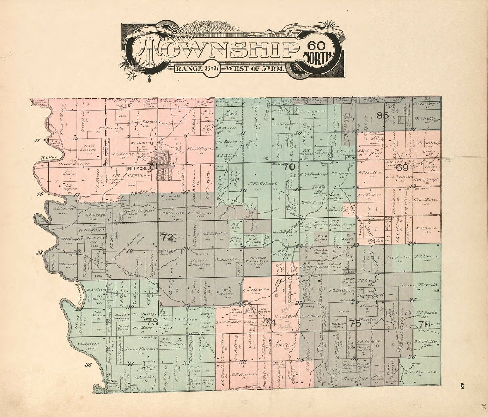
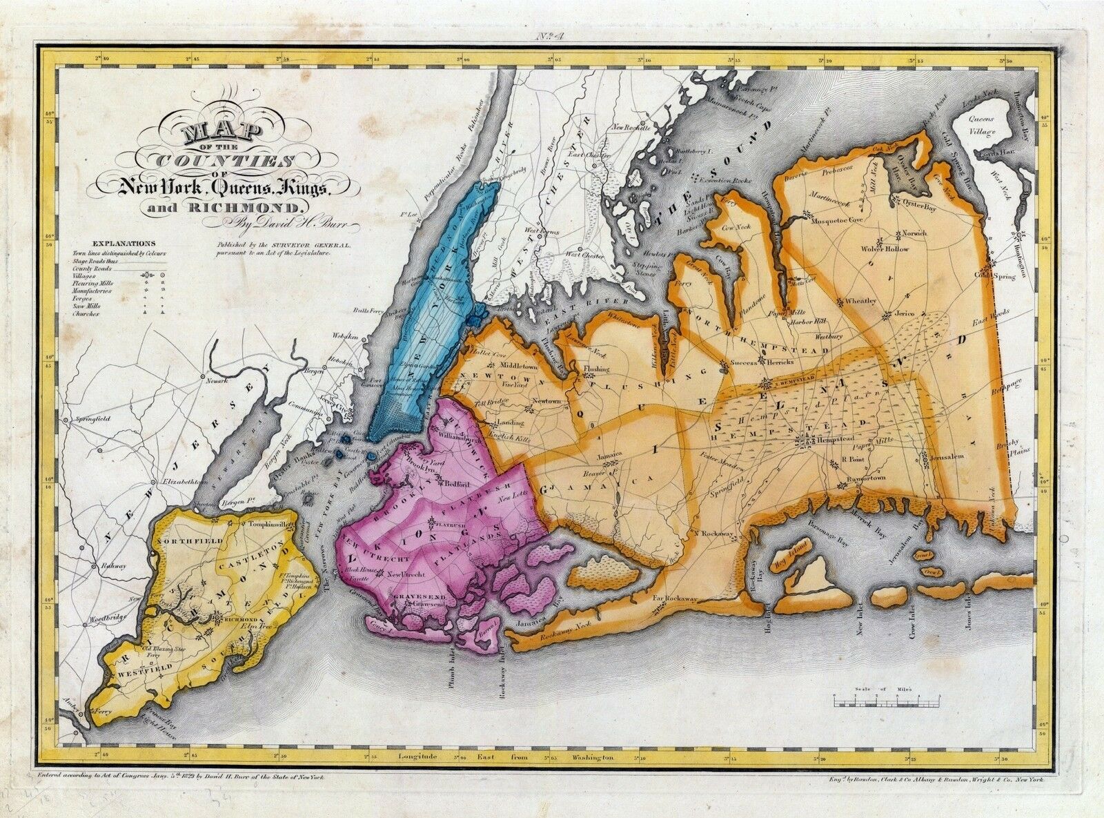
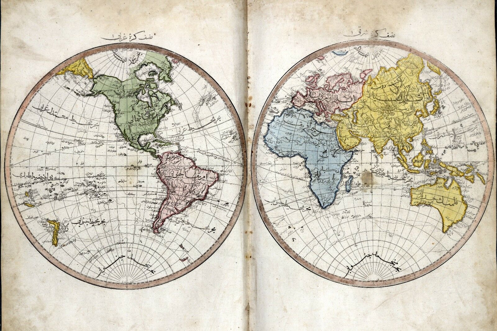
(please see full table of contents and sample illustrations below)
This DVD Contains
133 Maps of
Nebraska
Including
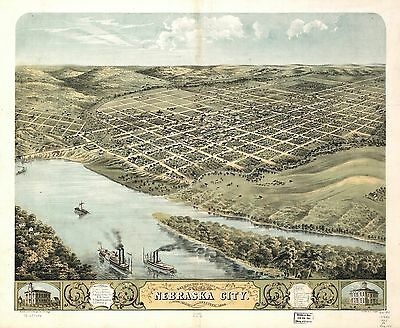
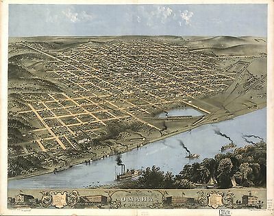
6 PANORAMIC MAPS
of various Nebraska Cities
These are scans of the
ORIGINAL
maps by various Cartographers.
on DVD
System requirements
PC or Mac compatible.
Files are simple PDF files with a basic HTML interface (just like viewing a webpage)
Works with ALL versions of Windows.
Maps of
Nebraska
0149055
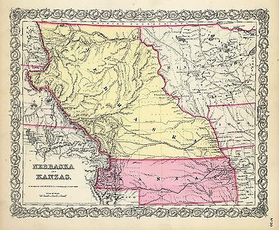
Colton, G.W.
Date: 1856
Nebraska And Kanzas.
2719001
Everts & Kirk
Date: 1885
Nebraska.
2773001
Fremont, J.C. ; Preuss, Charles
Date: 1846
Map Of The Road From Missouri To Oregon ... Section I.
2773002
, J.C. ; Preuss, Charles
Date: 1846
Map Of The Road From Missouri To Oregon ... Section II.
2773003
Fremont, J.C. ; Preuss, Charles
Date: 1846
Map Of The Road From Missouri To Oregon ... Section III.
2905028
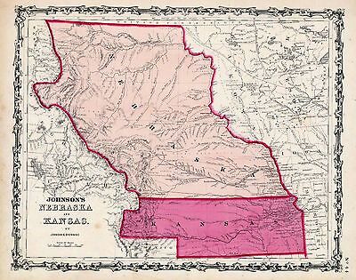
Johnson, A.J.
Date: 1860
Nebraska And Kansas.
3565136
Rand McNally and Company
Date: 1897
Nebraska.
3825008
Rogers, Henry Darwin ; Johnston, Alexander Keith, 1804-1871
Date: 1857
Territory of Nebraska.
3919A
Mid West Map Company
Date: 1920
Cover: Nebraska highway map.
3919B
Mid West Map Company
Date: 1920
Text Page: Nebraska highway map
4520038
Rand McNally and Company
Date: 1879
Nebraska.
4648000
U.S. General Land Office
Date: 1879
State Of Nebraska.
5370018
Cram Atlas Company
Date: 1875
Nebraska.
ct000891
J.H. Colton & Co.
Colton’s Kansas and Nebraska.
New York, 1855
ct001342
Hartley French Dickson & Co.
Map of the recently discovered gold regions in Western Kansas & Nebraska / from actual surveys notes & observations by Hartley French Dickson & Co.
[S.l. : s.n, 1859?]
ct001346
Mitchell, D. T. (David T.)
Mitchell’s sectional map of Kansas / compiled from the field notes in the Surveyor General’s office by David T. Mitchell, U.S. surveyor and land agent, Lecompton, Kansas ; showing the U.S. survey up to 1859.
Lecompton, Kansas : David T. Mitchell , 1859.
cw0012700
Hall, Edward S.
Western border states Waters and son Eng.
N.Y., New York H. H. Lloyd & Co. c1861.
pm004620
Wellge, H. (Henry)
Perspective map of the city of Kearney, Neb. county seat of Buffalo Co. 1889. H. Wellge, des.
Milwaukee, American Publishing Co. [1889]
pm004640
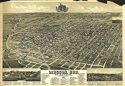
Wellge, H. (Henry)
Lincoln, Neb., State capitol of Nebraska, county seat of Lancaster Co. 1889. H. Wellge, sk.
Milwaukee, American Publishing Co. [1889]
pm004650
Ruger, A.
Bird’s eye view of the city of Nebraska City, Otoe County, Nebraska 1868. Drawn by A. Ruger.
Chicago, Merchants’ Lithogr. Co. [1868]
pm004660
Wellge, H. (Henry)
1889 perspective map of Norfolk, Neb. H. Wellge, sk.
Milwaukee, American Publishing Co. [1889]
pm004670
Ruger, A.
Bird’s eye view of the city of Omaha, Nebraska 1868. Drawn by A. Ruger.
Chicago, Chicago Lithographing Co. [1868]
pm004680
Austen, Edward J.
Panoramic view of Omaha. [Drawn by] Edw. J. Austen. 1905.
[Jefferson? Iowa] Bee Publishing Co., 1906.
rr001260
Mendenhall, Edward.
Traveling map of the western states, exhibiting the counties, towns and villages, the rail ways, rivers, canals, and lakes and towns & stations on them; engraved by Jos. Beutler.
Cincinnati, 1864, c1863.
rr001270
United States. General Land Office.
Map of Kansas and Nebraska.
Philadelphia, [1865]
rr001750
Fiala, John T.
General map of the United States & their territory between the Mississippi & the Pacific Ocean. 1. Showing the different surveyed routes from the Mississippi valley to the coast of Pacific Ocean, 2. the new established & proposed Post Routes, 3. the recently discovered gold, silver, and copper region in Kansas, Nebraska and Arizona. Compiled from the various P.R.R. Surveys & the best authorities which could be obtained.
[n.p.], 1859.
rr002480
Asher & Adams.
[New commercial and topographical rail road map & guide of Nebraska].
New York, 1874.
rr002490
Hirschfield, F.
Map of Nebraska published by the Burlington Route 1886, compiled from the official records of the government and rail road offices.
Omaha, 1886.
rr002500
Alt, W. W.
Railway map of Nebraska issued by State Board of Transportation 1889.
Wahoo, Nebraska, 1889.
rr002510
Cram, George Franklin, 1841-1928.
Cram’s rail road and township map of Nebraska.
Chicago, 1879, c1878.
rr002520
Galbraith, Frank H.
Galbraith’s railway mail service maps, Nebraska.
Chicago, 1897, c1898.
rr003530
G.W. & C.B. Colton & Co.
Map of the state of Nebraska showing the lands of the Burlington & Missouri Riv. R.R. Co. in Nebraska.
New York, 1876.
rr005110
Williams, Henry T.
New trans-continental map of the Pacific R.R. and routes of overland travel to Colorado, Nebraska, the Black Hills, Utah, Idaho, Nevada, Montana, California and the Pacific Coast.
[n.p.], c1877.
rr005880
Dey, Peter Anthony, 1825-1911.
Union Pacific Rail Road, map of a portion of Nebraska Territory, showing surveys and location of lines by Peter A. Dey, C.E.
[n.p., 1865?]
rr005930
Parge, H. R.
Map of Nebraska showing the Union Pacific Railroad land grant.
Omaha, 1880, c1879.
rrm05900
Gillis, J. R.
Map showing the different routes surveyed for the Union Pacific Rail Road between the Missouri River and the Platte Valley, to accompany report of Lt. Col. J.H. Simpson, Corps Engrs. to Hon. Jas. Harlan, Sec. of the Interior, dated Sept. 18th, 1865; reduced from map submitted to Lt. Col. Simpson by S. Seymour, Esq., Consulting Eng. U.P.R.R.
[Washington, D.C., 1865]
rrp05900
Gillis, J. R.
Map showing the different routes surveyed for the Union Pacific Rail Road between the Missouri River and the Platte Valley, to accompany report of Lt. Col. J.H. Simpson, Corps Engrs. to Hon. Jas. Harlan, Sec. of the Interior, dated Sept. 18th, 1865; reduced from map submitted to Lt. Col. Simpson by S. Seymour, Esq., Consulting Eng. U.P.R.R.
[Washington, D.C., 1865]
0027012
0073018
0151058
0152061
0352040
0352041
0358045
0358047
0392000
0393000
0425075
0502002
0535038
0535039
0572037
0579040
0586041
0592043
0594041
0834000
0960101
0993002
1070015
1071013
1173000
1550057
1582001
1582006
1690120
1698002
1700002
1700003
1954095
2041000
2043000
2054047
2094047
2134083
2194002
2212253
2307023
2449089
2483036
2585074
2769001
2809029
2844066
2861019
2871031
2905027
3471005
3493002
3873001
3888045
3919001
4084000
4096002
4117001
4117A
4117B
4323011
4324016
4325001
4421002
4422002
4552001
4557037
4567003
4574035
4574036
4587061
4703002
4727028
4825056
4872004
4872005
4931001
4932002
4933002
4968003
4977054
5028104
5028106
5028107
5028109
5041038
5155000
5193002
5213001
5479097
5755025
5755048
5784041
5797092
6727040
6727041
6921126
Features of this DVD
This auction is for a DVD of the maps listed in electronic form,
NOT
the maps themselves.
These maps are VERY high resolution and can be printed at FULL SCALE or LARGER for framing and display. The results are very high quality and convincing.
Ad and disk copyright 2013
Euriskodata
All Rights Reserved
Powered by
eBay Turbo Lister
The free listing tool. List your items fast and easy and manage your active items.
